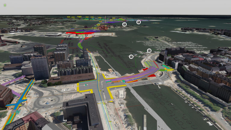
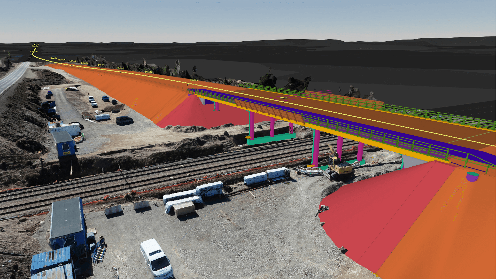
VISUALIZE AND COLLABORATE BEYOND BIM

Combine all your construction models into one easily shareable view. Improve production quality, increase project participation, and save money with an all-in-one digital twin solution. 

All your data in one place

Connect, combine and visualize all relevant BIM and GIS data.
Market-leading support for different formats including WMS map layers, BIM (ifc, landxml), dwg, photogrammetry, orthophotos and point cloud data.
Premium performance even with complex data.
See the big picture in real time – zoom in and out all the way from zoning plans to individual nuts and bolts.

Fast and easy

Intuitive and lightning-fast web-based interface. Same premium user experience on any device or platform (mobile, tablet or desktop).
Quick on-boarding and minimum user training – learn how to use the platform in just minutes.
Browser-based service works on any device – no downloads, installations or separate applications.

Collaborate and connect

Fast and easy collaboration between all stakeholders.
Tools and features especially designed for infrastructure needs. Great connectivity and seamless integrations.
Model data analysis, deviation analysis and orthophoto support. Global multi-coordinate-system georeferencing.
Add and share views, create longitudinal and cross-sections, view WMS data, generate quantity take-offs and check the quality of your BIM models.
1601637725784

“The processing and viewing features of the models, especially those related to road and rail construction, are very good. With high-quality models from the outset, we can improve the information management process throughout the project lifecycle.”

Tarmo Savolainen, Chief Specialist, InfraBIM at FTIA

Trusted by

Contact us

Please fill in the form and we will contact you. 

    Book a demo