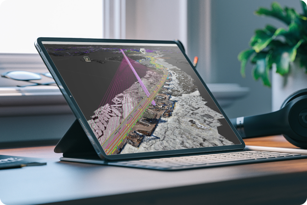
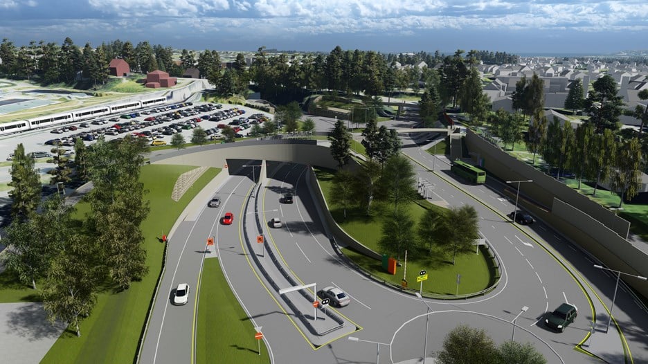
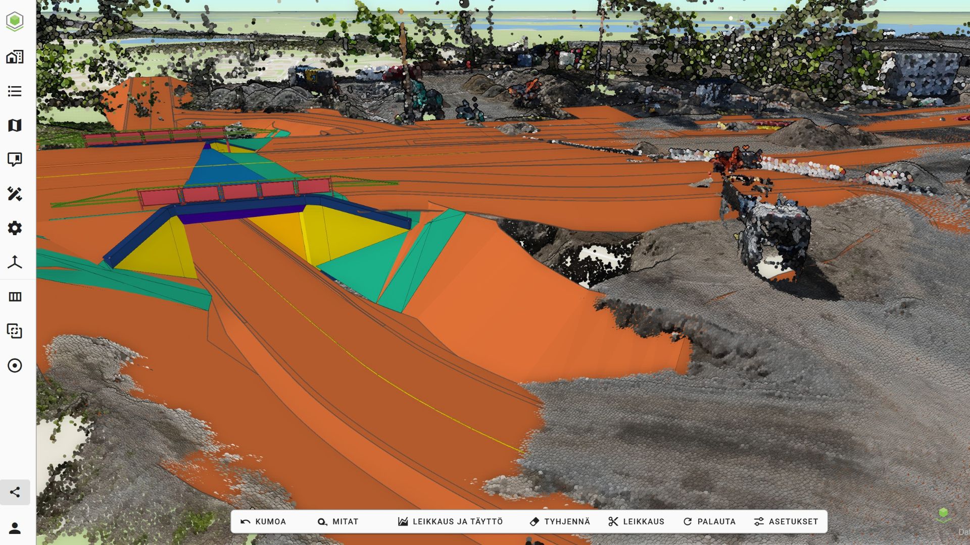
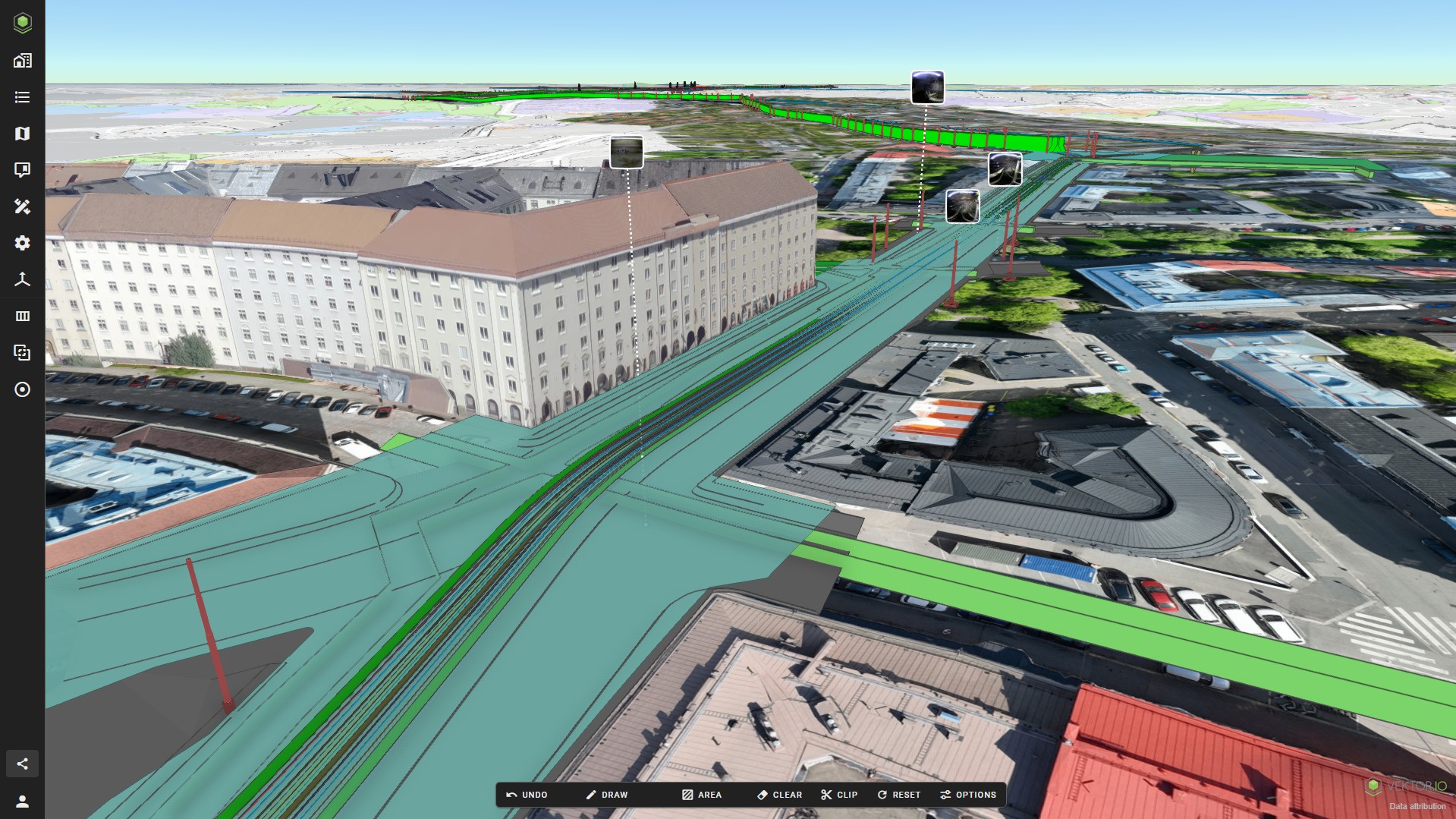
THE FUTURE OF SMART INFRASTRUCTURE & DIGITAL TWIN VISUALIZATION

Vektor.io is your all-in-one platform for visualizing and exploring BIM and GIS data. We provide the ultimate web-based software solution designed to revolutionize how you visualize, collaborate, and manage your infrastructure projects from beginning to end.

Discover Vektor.io

Key features

Connect, combine and visualize all relevant BIM and GIS data.
Market-leading support for different formats.
Easy to learn, minimum user training required.
Lightning-fast web-based interface, same intuitive user experience on any device.
Tools and features especially designed for infrastructure needs.
Great connectivity and seamless integrations.

Check out more features

Market-leading format support

From standard formats like IFC and LandXML to widely used formats like DWG, DXF, RVT, DGN, and SKP, Vektor.io seamlessly integrates point cloud data, photogrammetry files, orthophotos, city models, open GIS data, PDF-documents, and photos. Simply upload your model files as a structured zip package mirroring your project’s folder structure in Vektor.io.

Read more

Smooth collaboration across the construction lifecycle

Design, review, execute and explore.
All in a single platform.

Infrastructure Projects
Area Planning and Zoning
Design Collaboration
Construction
Maintenance and Operations

See more use cases

Trusted by the major players


See all references

Are you ready for the smart infrastructure revolution?

Book a product demo or ask for pricing.