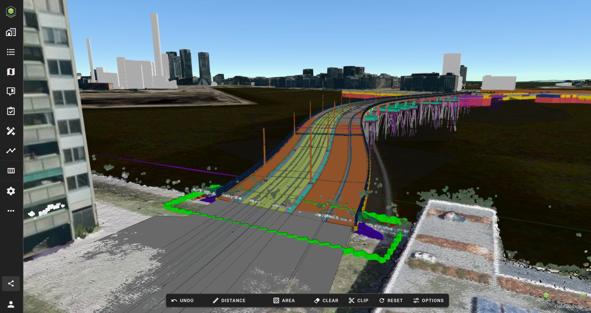
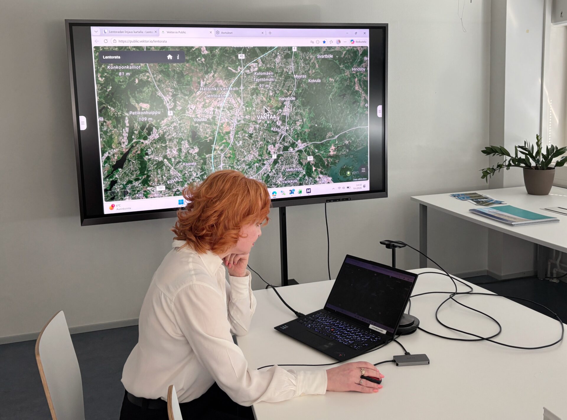
Infrastructure Construction
A browser-based solution designed to meet the needs of infrastructure construction by enabling the efficient use and integration of BIM, geospatial, and survey data.

A browser-based solution designed to meet the needs of infrastructure construction by enabling the efficient use and integration of BIM, geospatial, and survey data.
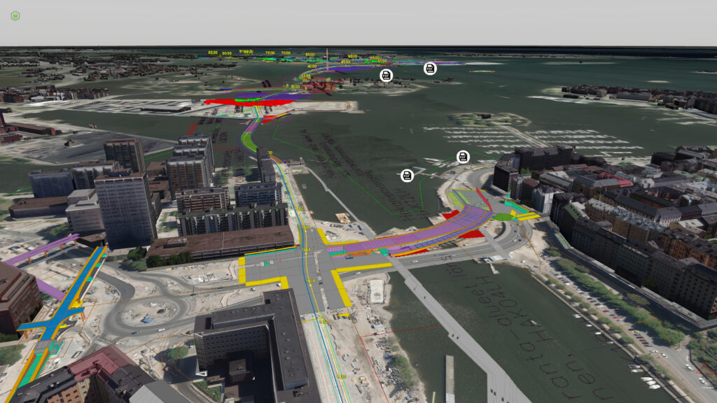
Vektor.io integrates diverse BIM, GIS, and survey data into a single platform for infrastructure projects. Maximize the use of your project data by combining, communicating, and measuring seamlessly within the same platform in both 2D and 3D views.

The best performance on the market as a browser-based solution. A high-performance platform also for mobile devices.

The most comprehensive format support in the industry, including compatibility with BIM (IFC, Inframodel/LandXML, Revit), CAD (DWG, DXF, DGN), 3D photogrammetry, orthophotos, WMS/WMTS datasets, 360 images, and point clouds.

Ensure the use of up-to-date information by integrating with your data management system.

All project stakeholders benefit from high performance and extensive format support.

Contractor – Leverage BIM, GIS, and survey data from bid estimation to quality assurance of project handover materials. Ensure measurement and quantity accuracy with a real-time view of the construction site.

Owner – Ensure project success through plan coordination and a real-time view of the construction site. Identify project deviations early with a visual site overview.

Designer – Coordinate and communicate on a single platform. Monitor and utilize the real-time site overview in your design process.
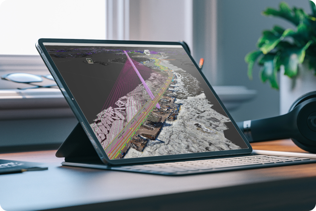
Whether you’re managing a large-scale infrastructure project or a smaller one, Vektor.io delivers significant benefits for project and data management, as well as collaboration.

A browser-based platform ensures easy, device-independent access to project data anytime, anywhere – with no installations required.

An intuitive user interface makes data utilization quick and effortless for all project stakeholders.
Pre-built integrations with the most common construction project data management systems enable seamless data transfer.
Whether working with 3D models or drone data, you can easily view and extract precise measurements and quantities directly in the browser. This enables faster decision-making and smoother collaboration without the need for heavy software.
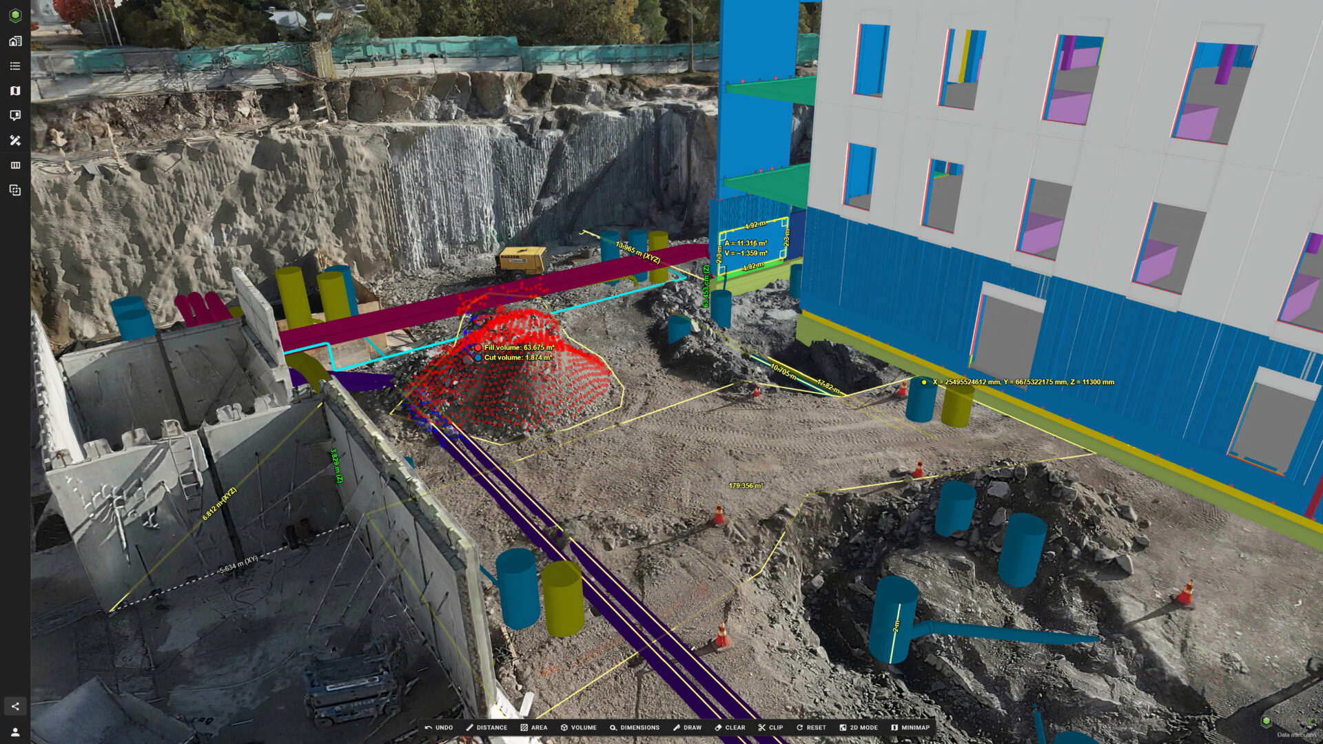
Ease of use, seamless collaboration, cost efficiency, and specialized suitability for infrastructure construction reduce the number of tools and software needed, speed up workflows, and bring all project stakeholders onto a single platform – without unnecessary barriers.



Trusted by Leading Industry Professionals







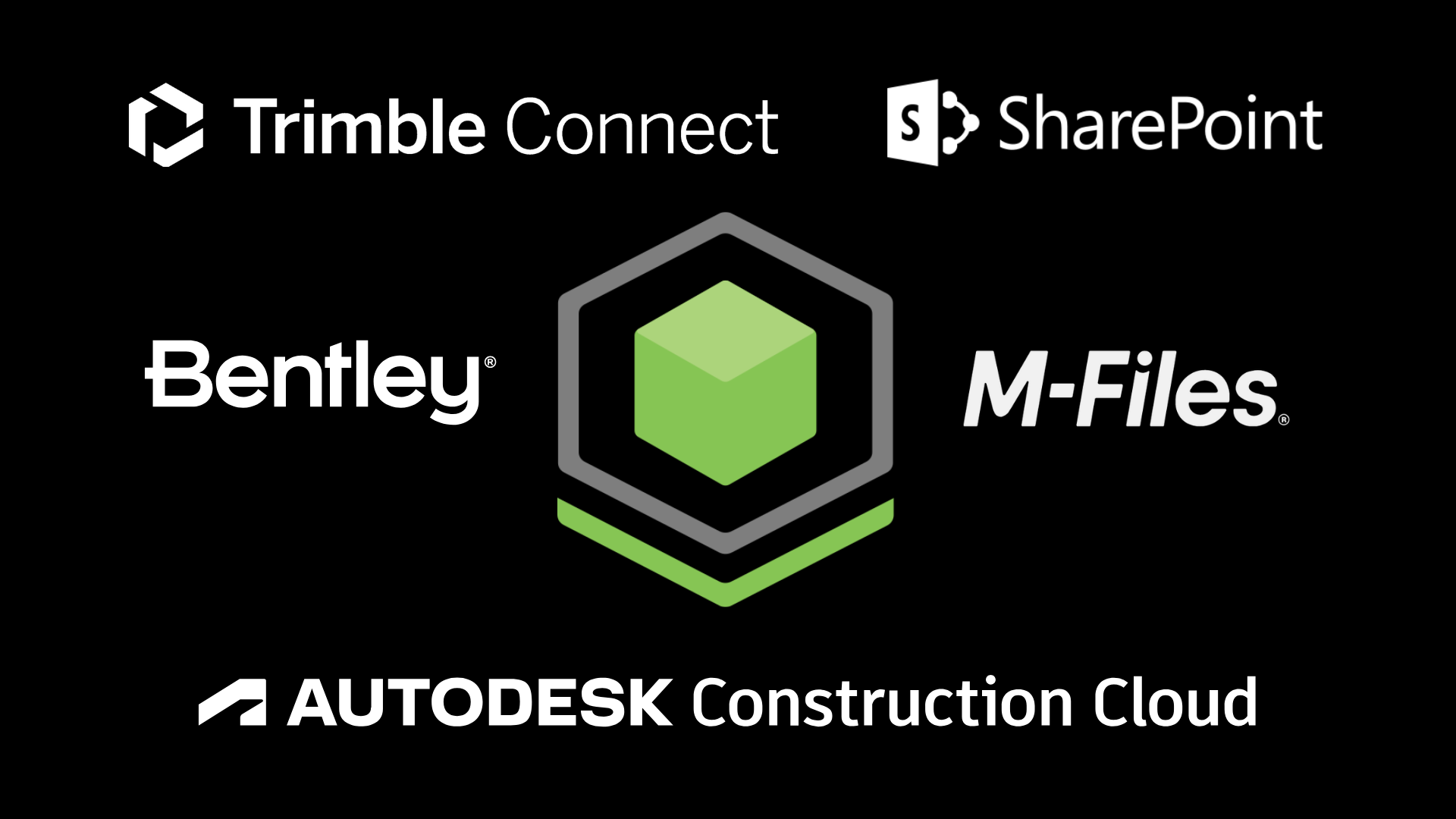
Effortless data transfer from existing systems to the industry’s most powerful and user-friendly BIM+GIS software. Vektor.io is integrated with all major data management systems, including Autodesk Construction Cloud, Bentley ProjectWise, SharePoint, M-Files, and Trimble Connect.
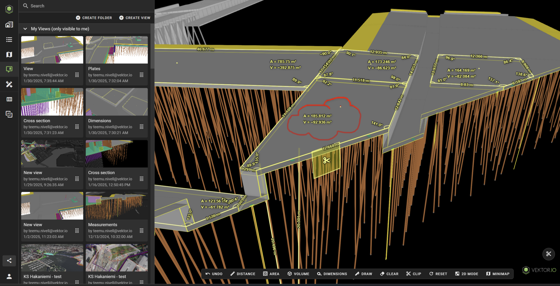
Mass calculation of surfaces and drone data can be done anywhere, anytime – without the need to transfer data to separate software or wait for expert analysis.
Get more value from BIM models with advanced measurement and quantity calculation tools.
Gain a comprehensive project overview. Utilize measurement and quantity calculation tools to make the most of drone data.
Dive deeper into BIM model data by filtering, grouping, and colorizing objects in detail. Export quantity data directly to Excel for further analysis.
Real-time 2D and 3D cross-sections enable detailed analysis and measurement of BIM models and drone data. Export 2D cross-sections to CAD software for further use.
Highlight important project details by saving and sharing views. Instantly share the view you are analyzing with colleagues via Teams, WhatsApp, or other communication tools.

Share model-based, informative views of your project openly for easy access. Gather feedback from stakeholders to enhance collaboration and decision-making.
Vektor.io brings design, GIS, survey, and reality data into one browser-based environment for planning, construction, monitoring, and collaboration.
Yes. Vektor.io supports infrastructure projects throughout the project lifecycle, from design and planning to construction and as-built documentation.
Vektor.io helps contractors understand project conditions, calculate quantities and earthworks, and identify potential risks before submitting a bid.
Yes. Design models can be compared with point clouds and other reality data to identify deviations between design and actual conditions.
Yes. Cut and fill volumes can be calculated directly in the browser by comparing design, terrain, and reality data.
Yes. Cross-sections and longitudinal profiles can be created from design models, point clouds, photogrammetry, and other project data.
Yes. Drone-based point clouds, orthophotos, and 3D models can be combined with BIM, CAD, GIS, and design data.
Yes. Owners, contractors, designers, and surveyors can access and collaborate around the same up-to-date project data.
Yes. Vektor.io runs in a web browser and can be used on computers, tablets, and smartphones both in the office and in the field.
Yes. Vektor.io can be integrated with the project’s CDE environment, enabling project data to flow seamlessly between systems and stay up to date.
Yes. Interactive project views can be shared with stakeholders to make complex infrastructure plans easier to understand.
Book your demo today!