Turn drone imagery into high-quality reality capture
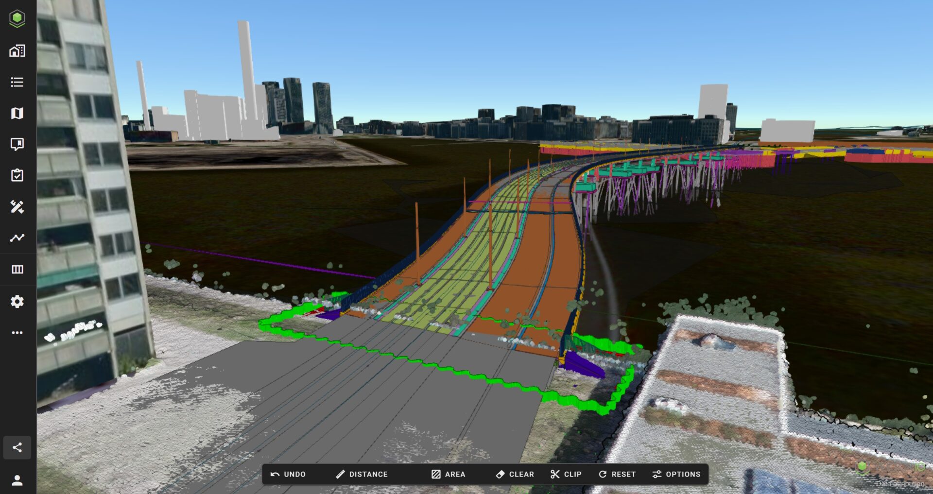
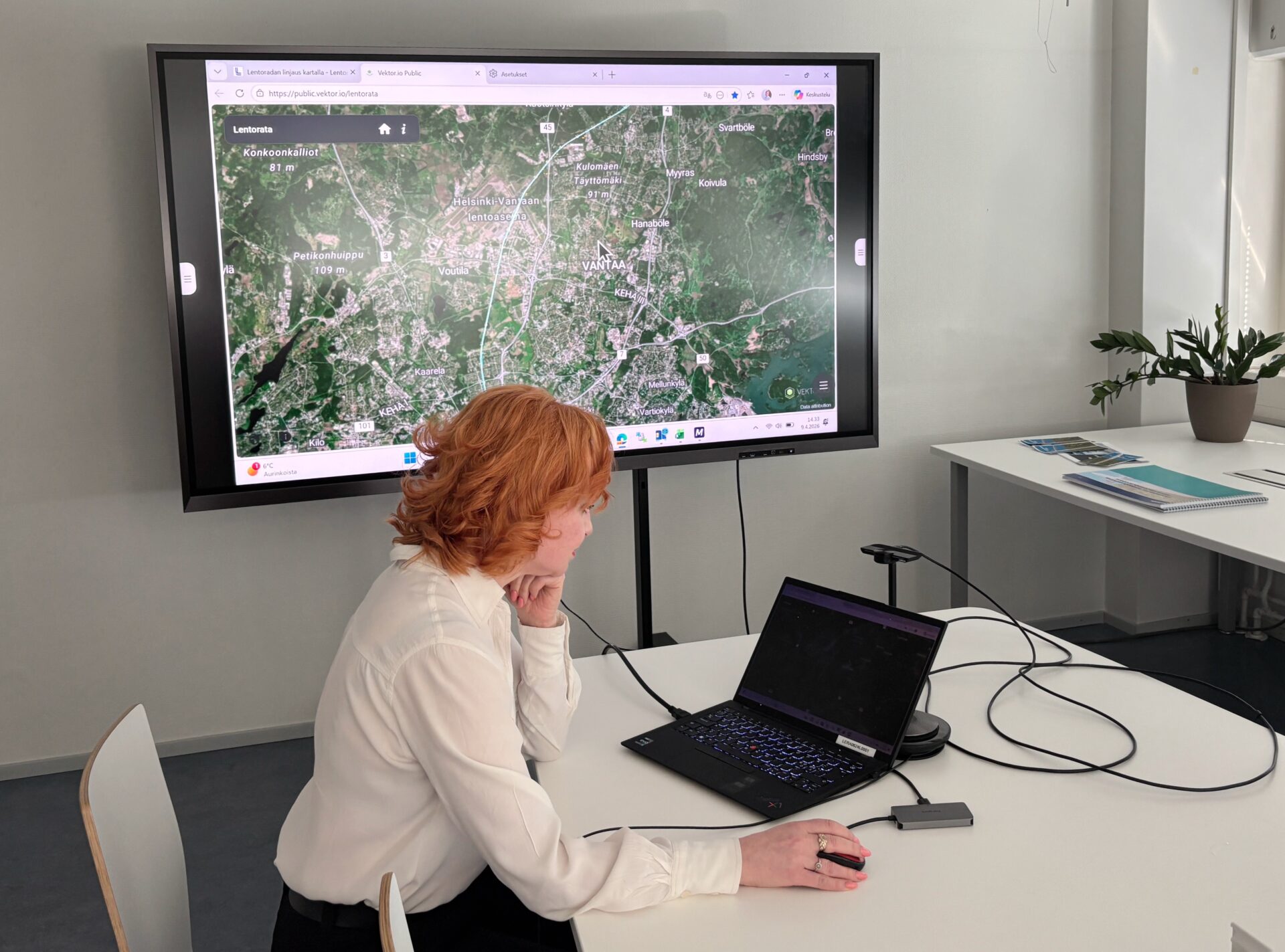
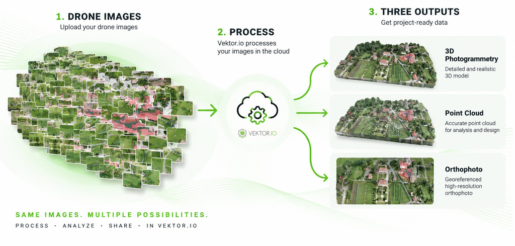
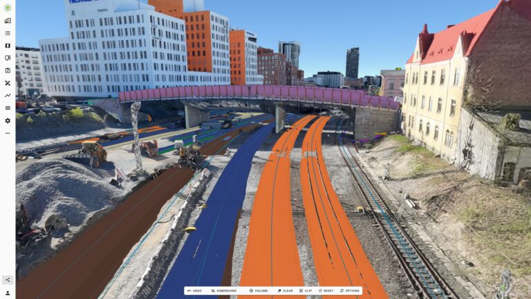
Process your drone imagery in the cloud and explore high-quality reality capture directly in Vektor.io.

Process your drone imagery in the cloud and explore high-quality reality capture directly in Vektor.io.
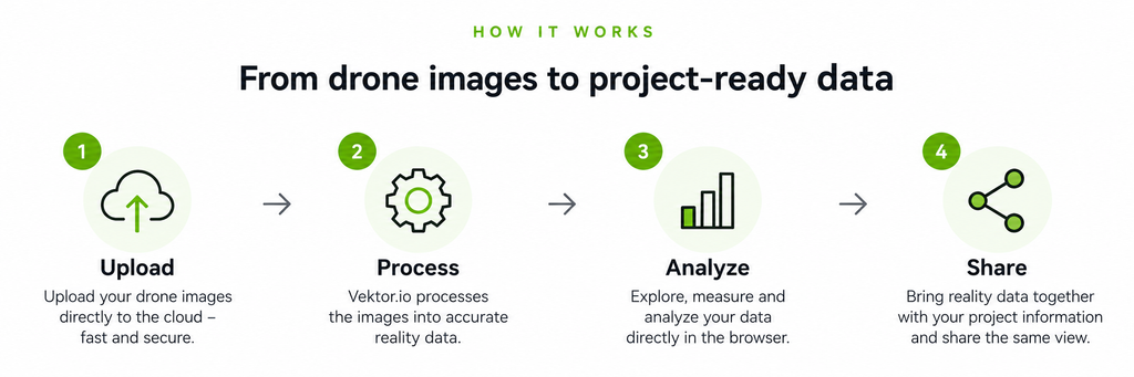

Cloud processing No local processing software required.

Multiple outputs Create 3D photogrammetry, point clouds, orthophotos and terrain data from one processing workflow.

High-quality results Generate accurate reality capture from your drone imagery.

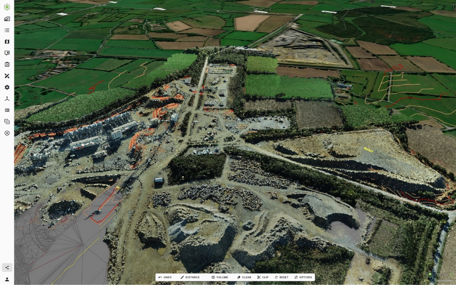
Ready in Vektor.io Measure, analyze and compare your processed data immediately.

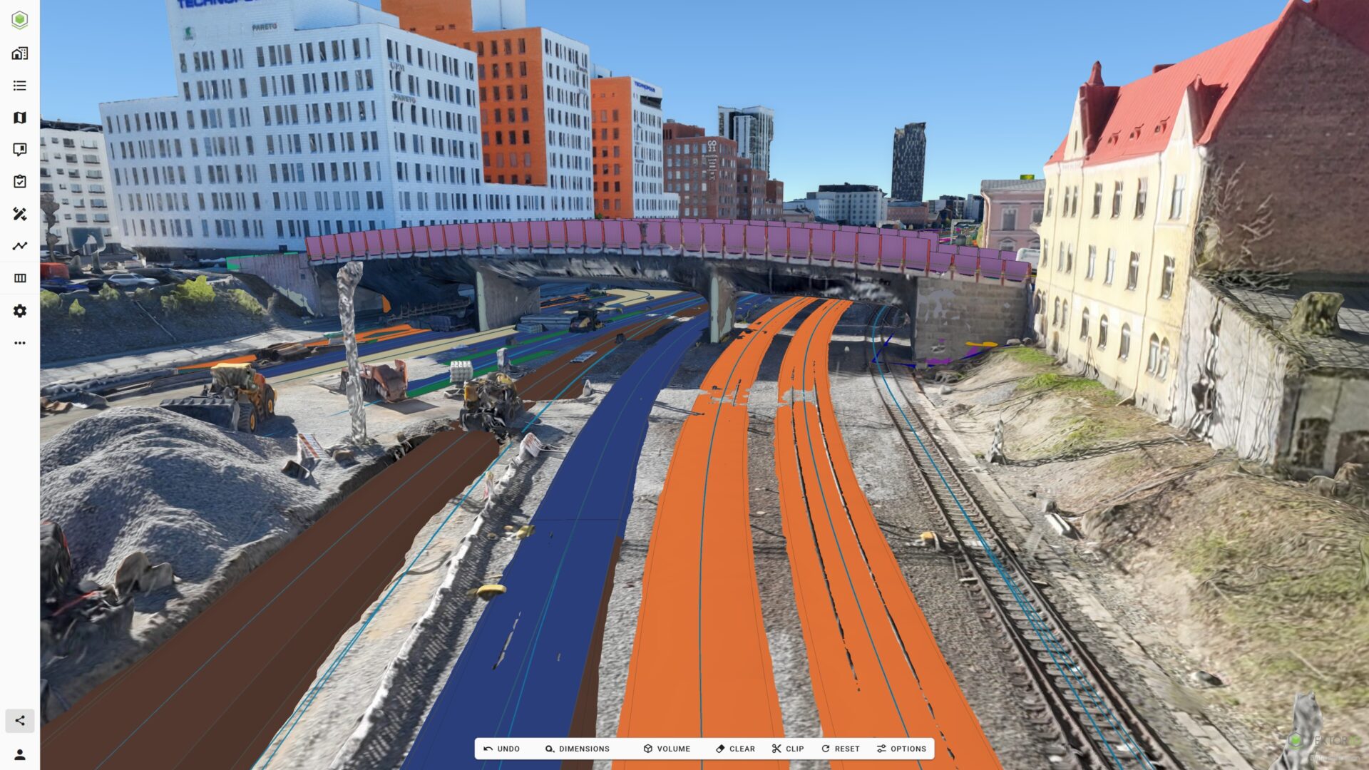
One project enviroment Combine reality data with BIM, GIS, design and survey data in the same view.
Request a Vektor.io trial and process your first 500 drone images free of charge. Upload your own drone imagery and discover how easily reality capture becomes part of your everyday workflow.
Complete the form below and we’ll contact you to help you get started.
"*" indicates required fields
Drone Processing is part of the Vektor.io platform trusted by infrastructure owners, contractors and consultants.